The following list uses subject headings in the bibliographic records to pull up lists of maps and atlases on specific subjects in our collections. Click on one of the subject headings to see a list of relevant items:
For general help with locating maps in Duke Libraries' collections see here.

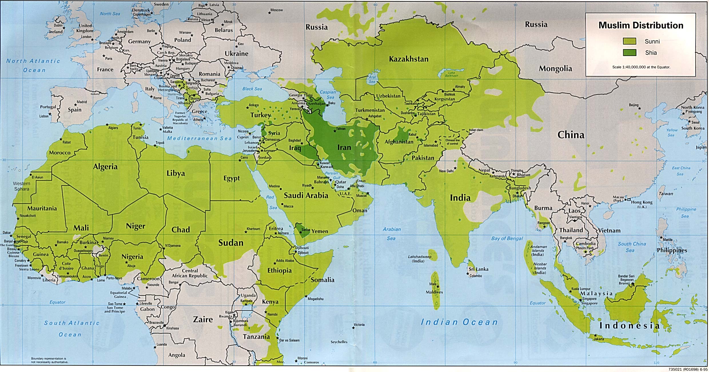
Maps and atlases are cataloged in Duke's online catalog.To see records of available maps for Middle Eastern countries, see the listing on the left.
For help with GIS/digital mapping software, files, and data, please contact: The Brandaleone Family Center for Data and GIS Services


